Aerial Application & Utility Survey
Veteran Owned and OperatedI
Targeting Invasive weeds
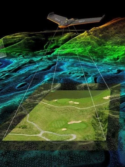
County Line Helicopter has a fully integrated approach to targeting invasive weeds on pasture and rangeland. Utilizing state-of-the-art mapping technology, we identify problem areas and target them specifically. Saving you money on chemical, and application. Our multi-year program focuses on decreasing cost and a long-term solution.
We are more than an aerial application company; we are YOUR INVASIVE WEED SOLUTION.
Our
Services
-

Row Crops & Pasture
Full Coverage, On Time
-

Survey & inspection
Helicopter Pipeline and Powerline survey, high quality drone imagery.
-

Invasive Species
Private, State, or Federal Projects, we are your invasive species solution.
-

Drone Mapping
Agriculture, Rivers, Construction, Mining and Disaster Management. Get in touch for more information.
What we are about
Our Mission
Make a lasting positive impact on the Agricultural, and Utility Industries with elite aerial service.
Accurate and On Time
We are passionate about finding solutions and providing elite customer service. It all starts with identifying your needs. We will work with you to find an economic solution utilizing all of the tools at our disposal.
